Wayfinding has been around for a long time, but more and more facilities are moving to digital wayfinding instead of printed signs. Touchscreen wayfinding offers a wide variety of benefits that traditional wayfinding can’t provide, but there are also a lot of factors you need to consider before jumping on the interactive wayfinding bandwagon.
“Wayfinding can be defined as spatial problem solving. It is knowing where you are in a building or an environment, knowing where your desired location is, and knowing how to get there from your present location.
…A good wayfinding system gives strong indicators of where the user is and how to get to her destination from her present location. Wayfinding problems occur when decisions cannot be executed.”
~ University of Michigan
Benefits of Interactive Wayfinding
- Interactive wayfinding is “Self-Service” and reduces the requirement for staff to help direct visitors to their location.
- It offers a more positive visitor experience by reducing frustration so visitors are more likely to return.
- With complex path mapping, you can provide the options to print directions or send them to a mobile phone.
- Searching and interactive directory instead of a static list allows people to filter large lists of names alphabetically, by department, position, etc.
Design Considerations
- Interactive wayfinding can be simple or elaborate
- Deciding Factors: Time, Money and Personnel Resources
- Start with this question: What do people need to find?
- People
- Rooms
- Departments
- Areas of Interest
- Dining, Parking, Vending, Elevators, Shops
- Safety considerations – Exits, Stairs, Restrooms
- Navigation
- Will visitors need to find rooms within a single building or between multiple buildings on a campus?
- How complex is the navigation?
- Can we just highlight rooms or do we need to show directional paths?
- What other information, if any do you want to display?
- Date/Time
- Weather
- News
- Announcements
- Event Schedules
- Consider the size/orientation of your maps
- Do you want an introductory screen?
- Invite users to interact
- Display photos
- Prevent burn-in on displays
- Some customers prefer to use the entry floor map as the home screen
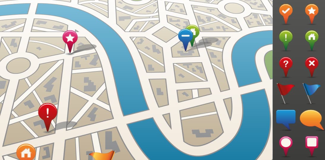
- Maps
- 3D maps vs. flat design vs. tilted on an axis
- Floor maps
- Campus maps
- Google maps (Google API)
- ADA considerations
- Will screens be mounted so that a person in a wheelchair can reach the top of the interactive area?
- If not, consider ADA buttons near the bottom of the display.
- QR Tags
- Provide a QR tag so people can take a snap of it and get more information or take the map with them on their smartphone.
Technology Considerations: What do you need to make it work?
- Touchscreen display(s)
- Playback device(s) – Media Player or PC
- Design platform
- Proprietary applications
- Widely accepted, commercially available products
- Photoshop
- PowerPoint (Kiosk Mode)
- Web Pages (HTML4/HTML5)
- Personnel resources
- Graphic Designer
- Developer
- Project Manager
- Marketing/Communications or someone to make decisions on the look and functionality
- Facilities Personnel to provide and verify all maps and directory listings
- Maps
- PDF (original PDF) or CAD format works best
- Directory Data
- How will directory information be updated?
- Manually by the designer
- XML
- Connection to existing database
- Custom database with web user interface
- How will directory information be updated?